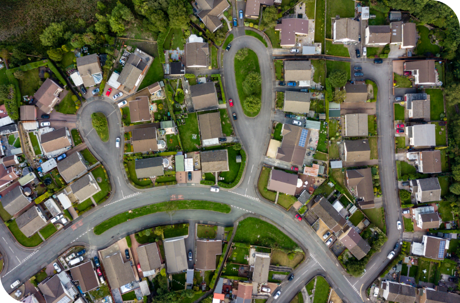
Whether you work in the municipal, provincial, federal government, or for a utility or public services organization, Teranet has you covered.

Technology, services and solutions
Teranet provides essential technology, services and solutions for all levels of government and public services. This enhances the management of essential infrastructure, planning, operations, enforcement, analytics, and the provision of other services.
Provincial Government
Teranet is a world leader in delivering and modernizing statutory registry solutions, providing significant funding for governments. Our solutions operate under a proven, comprehensive governance framework and utilize public data for innovative commercial solutions.
Registry Solutions
The ESR business facilitates electronic property searches and registrations, writ filings and searches, personal property and other regulated services through long-term contracts with the Ontario and Manitoba governments.


Regional & Local Government
We offer in-depth mapping and property data that addresses common challenges, reveals critical insights, and enables the development of proactive solutions. Discover key mapping, GIS, property ownership solutions, and more.
How we support governments
- Ontario Parcel Mapping: Ownership and Assessment
- Custom Mapping Solutions
- Title Data Products: Ownership Property Report, Easement Report, Properties of Interest Report, PIN-Plan Index, PIN-ARN (Assessment Roll Number) Index, Address of Service Information
- Imagery Solutions: Aerial Imagery, Oblique Imagery, LiDAR and 3D Datasets
- Municipal Geospatial Solutions
- Easement Solutions: Mapping, Identification, Evaluation, and Maintenance
Infrastructure
Teranet understands the challenge of technology and big data. Utilizing the most up-to-date parcel, mapping, title, document, and imagery-based solutions; we have helped key infrastructure agencies increase efficiency, enhance productivity and improve the decision making process.
How we support infrastructure
- Ontario Parcel Mapping: Ownership and Assessment
- Custom Mapping Solutions
- Title Data Products: Ownership Property Report, Easement Report, Properties of Interest Report, PIN-Plan Index, PIN-ARN (Assessment Roll Number) Index, and Address of Service Information
- Imagery Solutions: Aerial Imagery, Oblique Imagery, LiDAR and 3D Datasets
- Geospatial Solutions
*Subject to VAP Approval


Utilities
Power, telecommunications, oil and gas, and more. The Teranet Utilities Solutions Group provides valuable insights, improves decision making and increases project efficiency through various land data solutions.
How we support utilities
- Ontario Parcel Mapping: Ownership and Assessment
- Custom Mapping Solutions
- Title Data Products: Ownership Property Report, Easement Report, Properties of Interest Report, PIN-Plan Index, and PIN-ARN (Assessment Roll Number) Index
- Address of Service Information
- Imagery Solutions: Aerial Imagery, Oblique Imagery, LiDAR and 3D Datasets
- Municipal Geospatial Solutions
Law Enforcement
Law enforcement professionals can access vital information available in our GeoWarehouse® online service. Find out who owns the property and identify past owners of a property, use the most recent sales history to identify patterns that may indicate fraudulent behaviour, use enhanced imagery to view the property from different angles as well as the surrounding areas, examine a property without visiting the premises in person, purchase property instruments, and more.


Private Investigation
Private investigators use GeoWarehouse® to accelerate their investigations as it allows them to verify homeownership information, access sales data, use StreetScape imagery to view the property as well as the area surrounding the property, and more.
Government & public services that use our solutions
Government & Public Services Insights


