A world-class geospatial ecosystem to advance your business

Empower your organization with authoritative land data
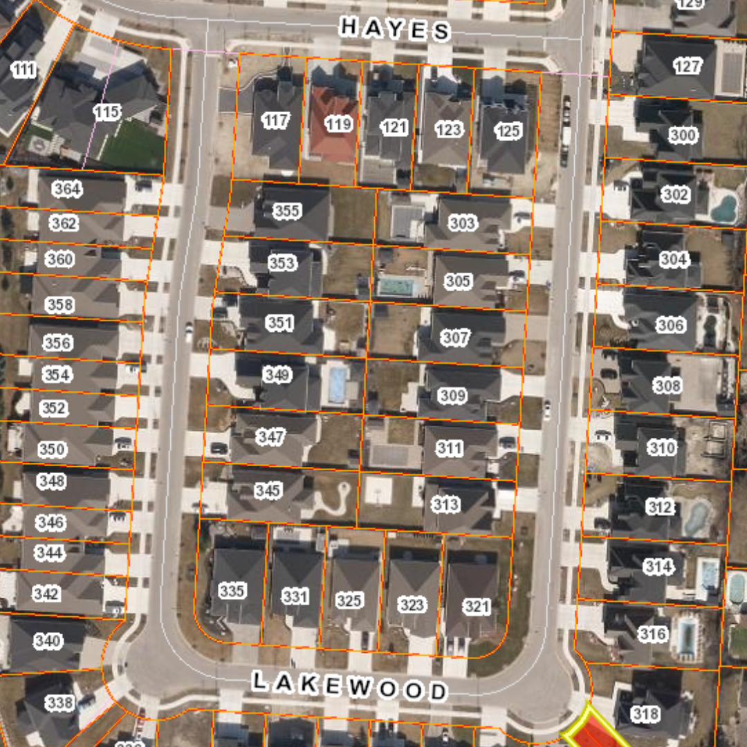
Teranet Xchange® is designed for your modern needs, allowing you to fully integrate Teranet’s vital data into your business environment and empower your organization to make smart decisions. Our Teranet Xchange Streaming and Direct Delivery services automatically deliver the most authoritative land registry and land-related data quickly and efficiently to your site, enhancing productivity and optimizing workflows.
As timely land-related content plays a more critical role in your organization, Teranet Xchange® is the most valuable solution for your needs. Whether you require ownership parcel boundary data, easement data, assessment parcel boundary data, POLARIS® title attribute data, or more, Teranet Xchange transforms how you interact with our data solutions.
“We love this solution because it provides access to data on demand. It enables us to know much more about the properties we are investigating which leads to better decisions and improved efficiency.
Seamless Data Delivery Service
Streaming Service that fully integrates spatial, parcel, title data, and more in real-time.
Direct Delivery service allows you to receive data as flat files and plan images securely on your site.
Seamless delivery makes it easy and efficient to receive up-to-date property information for effective decision-making.
By streamlining processes, Teranet Xchange eliminates redundancies and saves significant time for your organization.

Streaming Updates in Real-Time
The Teranet Xchange Streaming Service is the most comprehensive solution when you require timely and reliable land data to drive informed decisions. Data is streamed directly to your site with speedy real-time updates and in native format to maintain data integrity. With Streaming updates, you will always have the latest parcel mapping, title data, registered document images (and more!) available integrated right into your systems.
Direct Delivery
For those who prefer occasional or pre-defined data delivery frequency, the Teranet Xchange Direct Delivery service provides secure and seamless delivery of flat files and plan images right to your site. Quick and efficient, Direct Delivery simplifies processes and saves your team valuable time.

Geospatial Solutions Insights
Get in touch
Our core purpose is to be the most authoritative and reliable provider of spatial mapping services and land registry data to our customers. For more information, contact your dedicated account team today.
Government
Richard Norris
richard.norris@teranet.ca
Utilities and Imagery Products
Michael Franschman
michael.franschman@teranet.ca


