Become more efficient with less risk
Our suite of solutions provide an integrated approach to easement projects using data that is derived directly from official land registry records, making it reliable, accurate, and complete. Through a flexible method modernized for municipal governments and utility providers, we analyze and map easements and other land-related data to help make easement management easier than ever before.
Easement Report
Contains a list of all registered easement type instruments within an organization’s jurisdiction that can potentially create an easement through the Land Registration process.
Document Review and Evaluation
Review the registered easement type instruments identified in the Easement Report to evaluate whether or not easements are created.
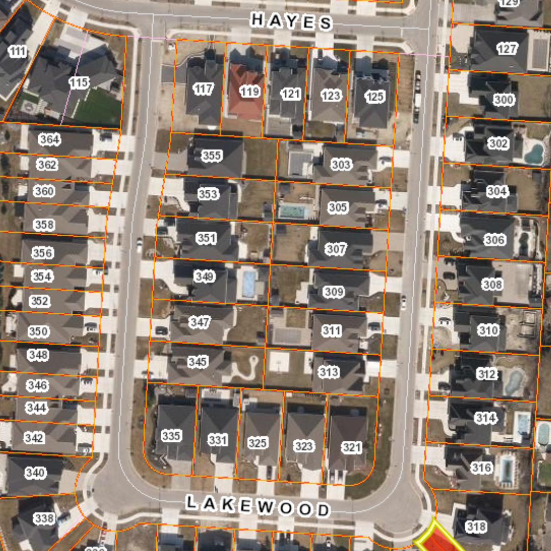
Easement Mapping
Generation of polygon features identifying the spatial extent of the valid easement instruments as interpreted from the descriptions and plan information over existing parcel mapping fabric.
Easement Usage Identification
Identify the purpose of the registered easement based on document interpretation, e.g., storm water, sanitary sewer, hydro, etc.
Ongoing Easement Mapping Maintenance
Upon completion of the initial easement mapping project, provide map maintenance based on monitoring of new easement and release of easement registrations.
Easement FAQs
Municipalities and utilities perform duties associated with property asset inventory projects and easement identification projects. The Easement Report is designed to help you do just that and it’s only available through Teranet.
Why is the Easement Report for municipalities and utilities so valuable?
Teranet’s Easement Report is an electronic notification of registered easement information queried from the POLARIS® Title Database. The Report provides an inventory of all registered easement interests in a jurisdiction including municipal, utility and private easements and supports a number of municipal and utility applications that require easement information, including engineering, planning, infrastructure and transportation applications.
The Easement Report is a compilation of easement information that municipalities and utilities need to help them function efficiently – and it’s all bundled into a convenient, one-time report.
What is included in each report?
- Nine-digit Property Identification Number (PIN) from POLARIS®
- Instrument Number of the easement document
- Instrument Type
- Registration Date
- Legal Description
- Parties To (party receiving the easement)
- Parties From (party providing the easement)
How is the information gathered?
Active instrument types that are searched against include:
- AG – Agreement
- AGEASE – Agreement Re Easement
- AGESMT – Agreement Re Easement
- AGRW – Agreement Re Right of Way
- APL – Application (General)
- APLAMCO – Application to Amend Based On Court Order
- APLCNMI – Application to Change Name – Instrument
- APLVO – Application for Vesting Order
- BL – Bylaw
- CONAMD – Condominium Amendment
- CONDEC – Condominium Declaration
- DCLCON – Declaration & Description (Condominium Act)
- DCLS25 – Declaration Section 25
- LRA – LR’s Amendment
- LRO – LR’s Order
- NO – Notice
- NOABSL – Notice of Application for Absolute Title
- NOAG – Notice of Agreement
- NOCL – Notice of Claim
- OINC – Order in Council
- PLE – Expropriation Plan
- T – Transfer (Grant)
- TAD – Transfer Administrator (Grant)
- TAPOINT – Transfer and Appointment
- TESMT – Transfer Easement (Grant)
- TEXEC – Transfer Executors (Grant)
- TLP – Transfer by Partnership
- TPR – Transfer by Personal Representative
- TPSA – Transfer by Power of Sale
- TRO – Transfer by Religious Organization
- TRW – Transfer of Right-of-Way
- TTRBK – Transfer by Trustee in Bankruptcy
Geospatial Solutions Insights