Program Highlights
Imagery As A Service (IAAS) – Nearmap imagery provided via subscription through secured browser or API access.
Nearmap aerial imagery captured automatically twice per year – leaf on and leaf off.
Urban Centers captured at 5.8 cm to 15cm GSD Ortho & 7.5 cm GSD Oblique.
Citywide, low cost, high quality, 15cm GSD Textured Mesh/3D Models.
LOD building creation services to supplement 3D Models in urban, high density areas in support of Planning, Building, Public Works, Corporate GIS, etc.
Planimetric & Feature Extraction services to capture inventory and maintain assets in your GIS.
Mobile & Aerial LiDAR capabilities providing engineering-grade data & data solutions.
Imagery Solutions
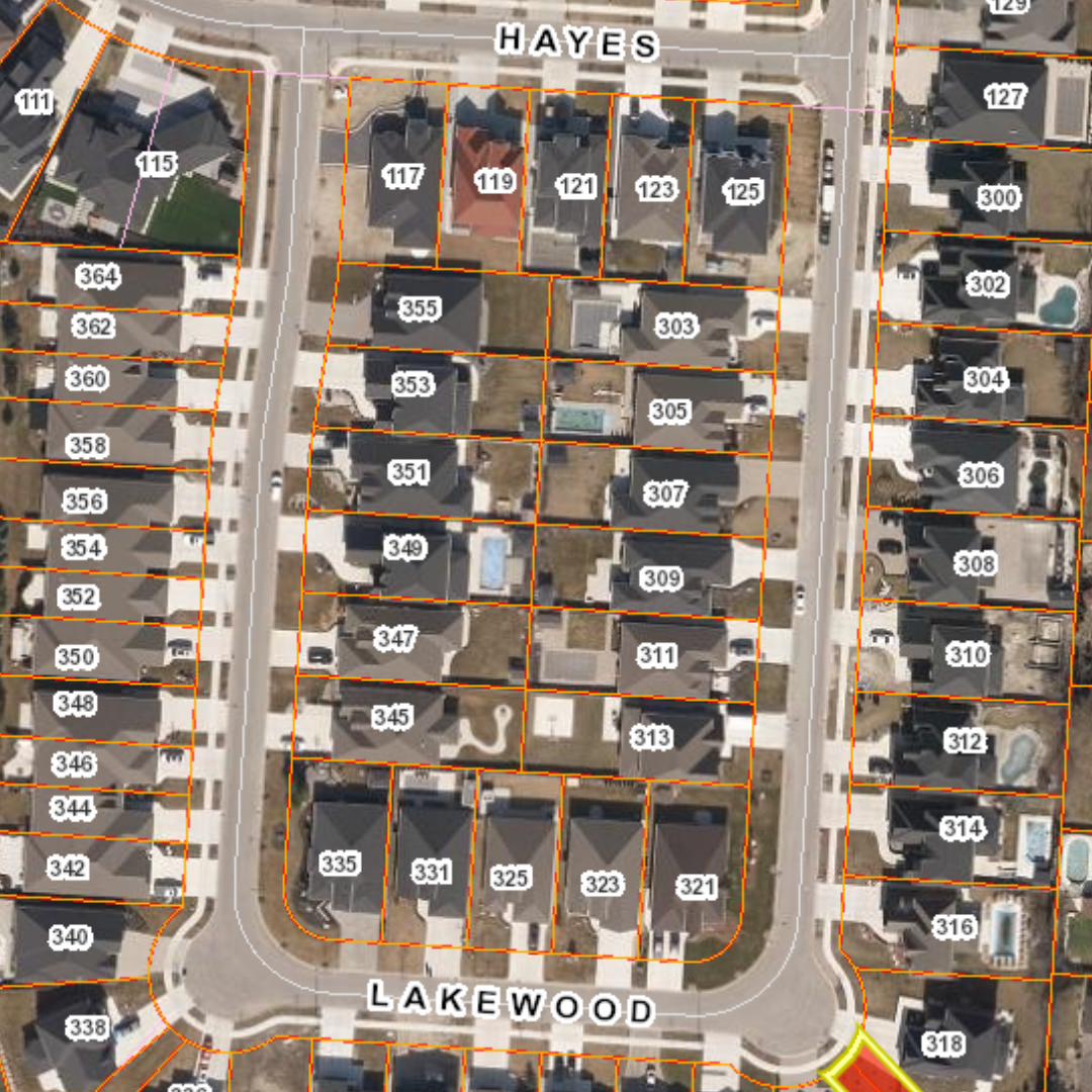
Ortho Imagery
Best-in-class, highest resolution aerial imagery offered 2x times per year covering all urban centers across Canada. From 5.8cm to 15cm GSD, most of our vertical imagery can be provided as a subscription service via “IAAS” that can be incorporated into all existing business systems and applications across your organization.
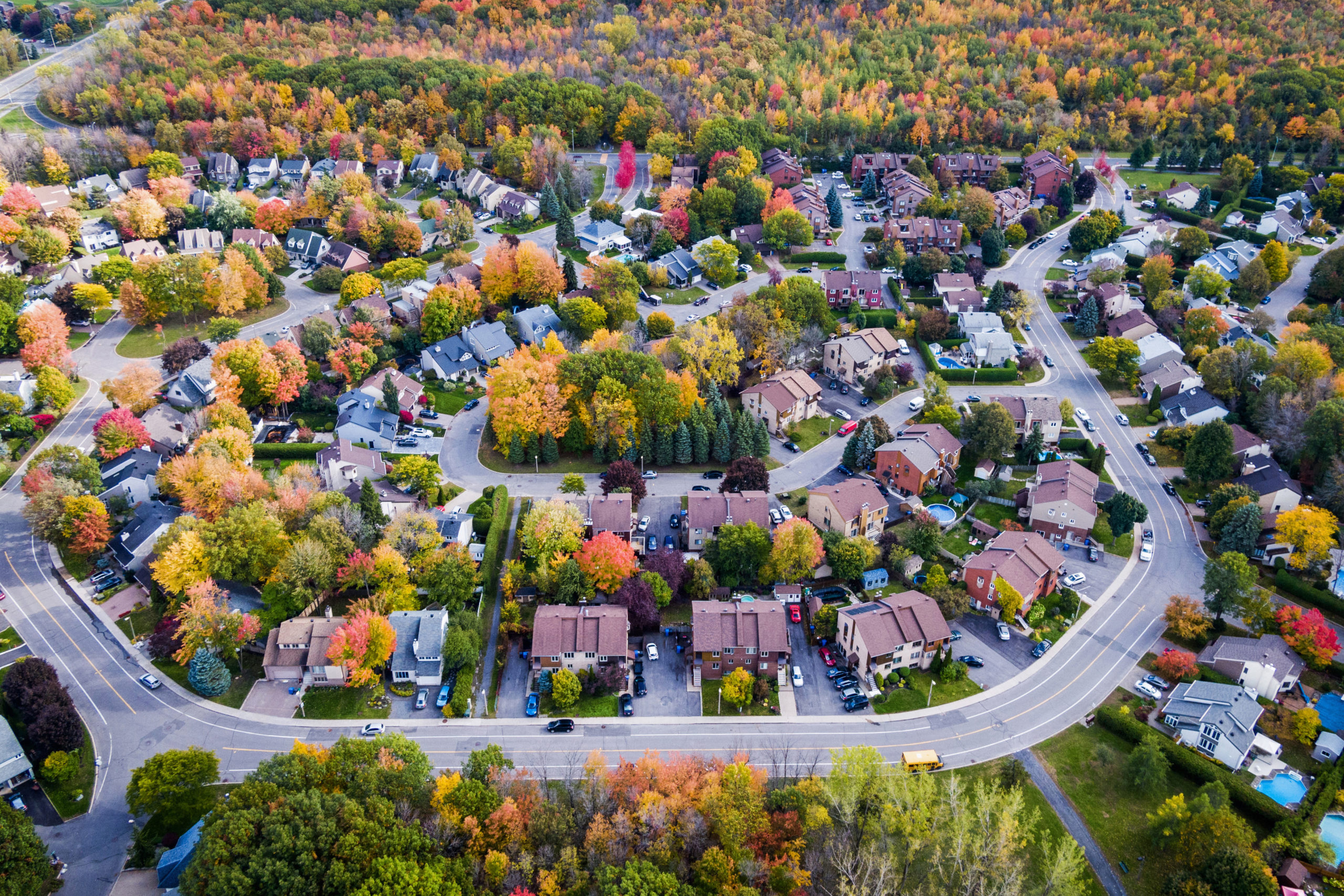
Oblique Imagery
Oblique imagery provides that natural, on-the-ground perspective like no other and provides that ability to be there when you’re not! Provided at a 7.5cm GSD, our Oblique imagery provides multiple enhanced views for each and every point on the ground with the ability to view, measure, export as well as perform advanced analysis either in the field or in the office.
Additional Imagery-Based Solutions
Teranet is also pleased to be able to offer a wide variety of imagery-based solutions such as Textured Mesh/3D Models, LOD Building Creation, Planimetric and Feature Extraction Capabilities, Building Footprints, Building X, Y coordinates, Change Detection Services, and much more.
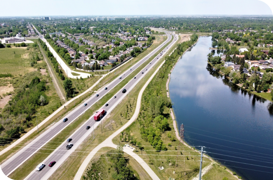
Aerial & Mobile LiDAR
Through our consortium of partners, Teranet can now offer newly captured and/or off-the-shelf LiDAR data, providing engineering-grade solutions tailored to Municipalities and Utility organizations across Canada.

Optimize your technology stack today
Whether you are looking to identify cracks in the road, ascertain asset location and status, monitor development projects and contractor compliance, increase data collection accuracy, and/or verify current conditions utilizing our recent and historical imagery and LiDAR libraries, Teranet is here to help your organization now and into the future.
Geospatial Solutions Insights