As part of Teranet’s ongoing effort to enhance our offerings to Canadian Municipalities, Utilities and Land Professionals, we are excited to share with you our latest initiative the “Teranet Imagery Partnership Program” AKA (TIPP).
We recently spoke to Michael Franschman, the Senior Manager of Strategic Accounts at Teranet to discuss what’s included in TIPP and the value it offers to our company and clients.
Q: Can you tell us what the TIPP is?
A: Officially launched September 2019, “TIPP” allows Teranet to provide additional “imagery based” value added solutions to our customers across Canada. With partnerships that include Nearmap, Airborne Imaging, First Base Solutions, Tulloch Engineering and QSP Geographics; Teranet is able to help provide the highest quality imagery and imagery based solutions across the country. Additional incentives are available to join our TIPP program.
Q: Why did you and the team choose to introduce TIPP to the market?
A: Teranet is always looking to add more value to both our new and existing clients. Through our strategic plan, Teranet is looking to take a leading role in the creation and acquisition of new datasets and data solutions across the Country. A natural fit with our extensive land information data, the ability to augment this with visualization capabilities and analysis allows Teranet to take that next essential step in creating better products, services and more efficiencies to our valued customers.
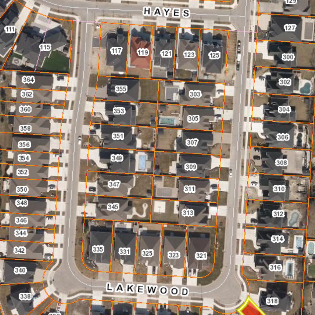
Q: What kind of imagery products are currently available?
A: The TIPP program will provide the best-in-class, high-resolution imagery and derivative products such as but not limited to:
- Ortho Imagery (captured 2x per year)
- Oblique Imagery
- Aerial LiDAR
- Mobile LiDAR with “SPECIAL SUBSCRIPTION PRICING”
- Additional Imagery-Based Solutions
-
- Textured Mesh and INDIVIDUAL AND/OR City-Wide 3D Modelling
- Level of Detail (LOD) Building Creation
- Feature Extraction/ Planimetrics Capabilities
- Change Detection Services
- And much more…
Q: What departments typically utilize this type of data and what can I use these products for?
A: Beyond your typical Ortho/Imagery uses cases, the Teranet TIPP imagery based solutions can be used within just some of these departments:
- GIS
- Municipal Operations
- City Planning
- Park & Recreation
- Mayor & Council
- Permitting
- Transportation
- Water & Waste Water
- EMS
- 911 (Dispatch & First Responders)
- Crime Scene Investigation
- Emergency Management
- Search and Rescue
- SWAT
Possible Government & Utility use cases not limited to:
Government:
- Assess Infrastructure and verify current status.
- Ascertain asset location and status.
- Monitor Development Projects.
- Increase data collection accuracy.
- Augment Geographic Information Systems.
- Change Detection & Analysis
- 3D Modeling
Utilities:
- Risk & Regulatory Compliance
- Vegetation Management
- Asset Management
- Emergency and Post Event Analysis
- Network Loading & Capacity Evaluation
- Fleet & Access Logistics
Q: Why should an organization utilize the Teranet TIPP program?
A: Beyond the financial incentives being offered via the TIPP program, clients can now take advantage of the following:
- A ONE-STOP SHOP FOR multiple products & services available from a well-known & trusted vendor
- Ortho & Oblique imagery automatically captured 2x per year (spring leaf-off & fall leaf-on)
- IAAS – Imagery delivered as a Service into all your existing applications
- Imagery products delivered within 10 days of capture
- **JUST RELEASED – Newly introduced engineering grade “Off-The-Shelf” Mobile LiDAR Data Library
- Textured Mesh and INDIVIDUAL AND/OR City-Wide 3D Modelling
Q: Who is using the program?
A: To date the program has been a tremendous success with the recent addition of the City of Kingston along with the City of Mississauga.
Q: How can customers access TIPP?
A: We are currently offering virtual presentations to all interested municipalities, utilities and other interested organizations highlighting the TIPP program and the solutions offered by Teranet and its partners. If you’re interested, please contact me or complete this form to set up your virtual presentation.
Michael Franschman
Michael Franschman is the Senior Manager, Strategic Accounts with Teranet Inc., a leader in the delivery and transformation of statutory registry & GIS related services across Canada. Michael has extensive experience helping clients acquire, implement and deploy various enterprise software, services and data solutions within the Public Sector, Infrastructure, Public Safety and Property Assessment verticals. With more than 18 years of experience within the Geospatial industry, Michael has helped provide value to hundreds of customers across North America utilizing GIS centric web, data and imagery based solutions. Please join us for this exciting presentation to learn how Teranet is changing and evolving to suit your organizations needs now and into the future.